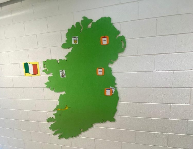
Map of Ireland
€299.00
Educational Map of Ireland wall print, ideal for SESE, geography and Irish-focused classroom displays.
Support SESE and geography lessons with our **Map of Ireland** wall print, a clear and educational reference for teaching counties, provinces and key geographical features. Ideal for classrooms, corridors and libraries, it helps pupils develop a strong sense of place and national identity.
Printed on high-quality material suitable for school use, the map works as a daily visual reference for pupils and staff. It can be paired with project work, atlases and local studies displays to deepen understanding of Ireland’s landscape and regions.
**Key Features**
– Educational Map of Ireland wall print
– Ideal for SESE, geography and Irish studies
– Clear layout showing counties and key features
– High-quality finish suitable for busy school environments
– Complements other ABAL maps and wall graphics
**Ideal For**
– Primary and post-primary classrooms
– Corridors and SESE display areas
– Libraries and project spaces
**Sustainability**
We provide durable, long-lasting display resources for Irish schools and recycle our cardboard packaging wherever possible to support more sustainable practices.